Unequal Neighborhoods: Fresno
Your Zip Code Matters, Because Where You Live Impacts How You Live
Living conditions greatly affect health outcomes in communities. People who have assets in their neighborhood like green space, well-resourced schools, access to healthy food, safe places to play, and plenty of economic opportunities nearby have better outcomes than those who do not have the same surroundings. When one city sees drastic differences in these different assets by neighborhood, this creates health inequalities.
Neighborhood Inequality is Shaped by Policies
Since the 1970s, Fresno has grown three times its population and over 2.5 times the land area, creating a dramatic social shift. Unfortunately, Fresno neighborhoods do not have the luxury of equality despite this demographic transformation.
By 2010, the city of Fresno as a whole grew dramatically. However, this growth is quite disproportional. Southern and western regions of Fresno did not exceed 2.5 miles of growth. On the contrary, eastern city growth extended over six miles. As such, southern Fresno reflects burdens due to growth and segregation limits. The long-standing historical and political roots of segregation in Fresno communities vary living conditions across the city.
“The Place”
Within central, southeast and southwest Fresno lies the Fresno Building Healthy Communities area of focus known as “The Place”. Home to more than 97,000 residents, “The Place” has its share of challenges including high levels of poverty, unemployment, gang violence and high rates of obesity and asthma that exceed statewide averages.
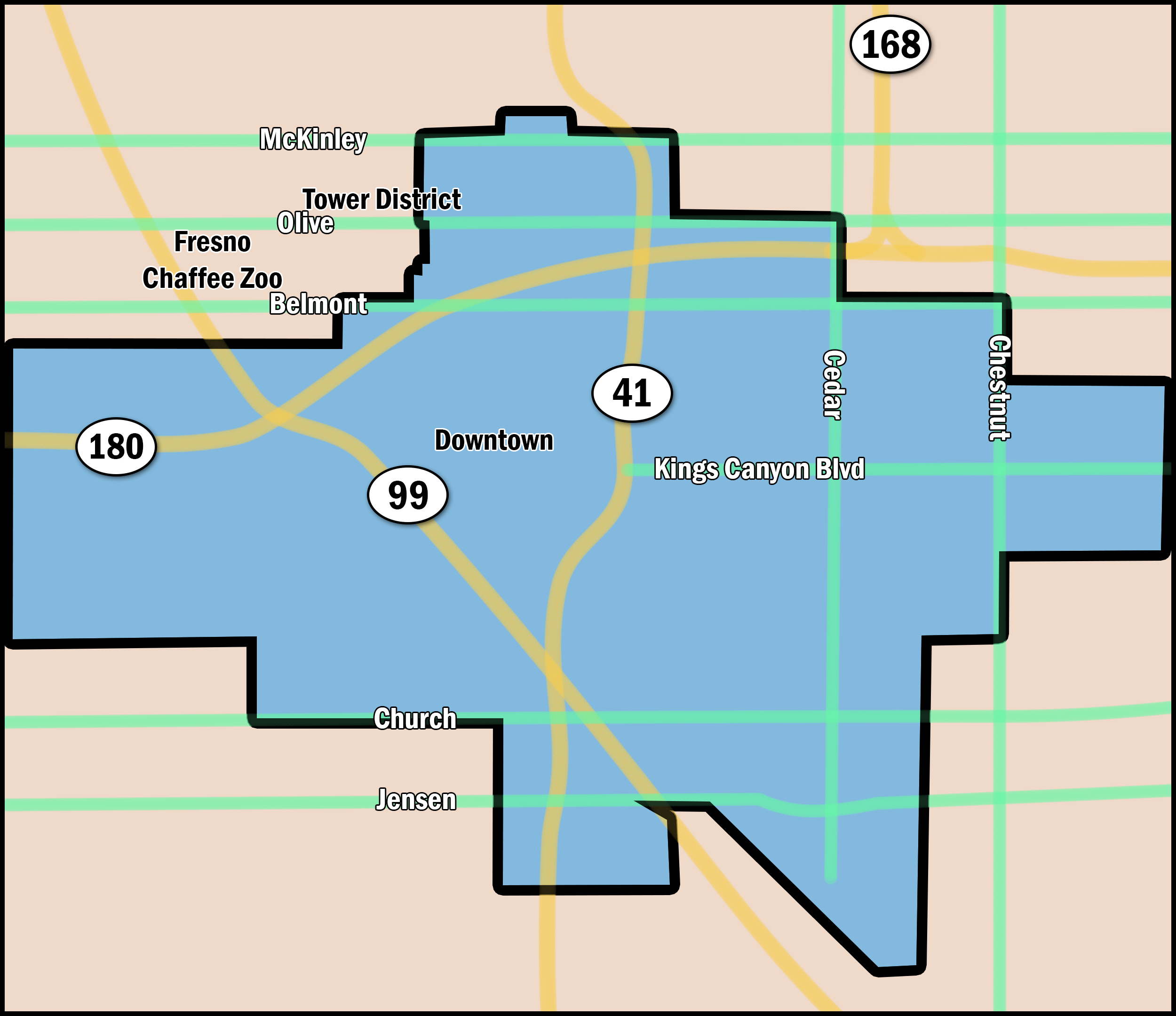
Southwest Fresno
Approximately 17,359 individuals populate Southwest Fresno. Southwest Fresno has a history of poverty, poor planning, and lack of investments as they continue to fight for social and environmental justice. For years, it was the city’s only racially restrictive area in addition to being the largest area with denied home loans by the federal government. The lack of investment in Southwest Fresno results in severe burdens of poverty, making it difficult for residents to maintain positive health outcomes.
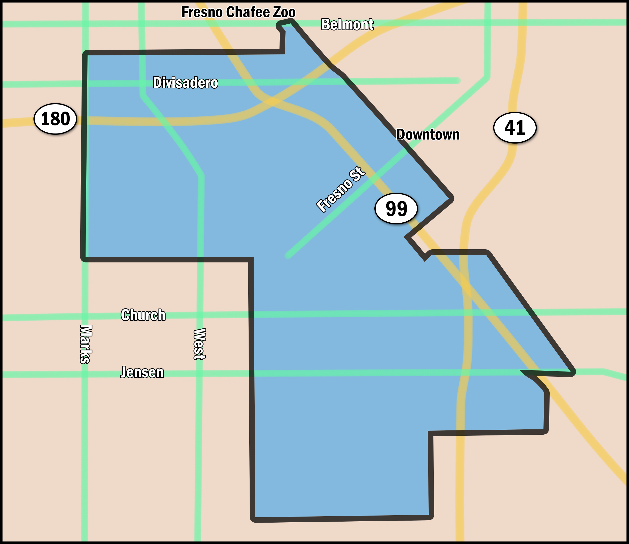
Advantaged Neighborhoods
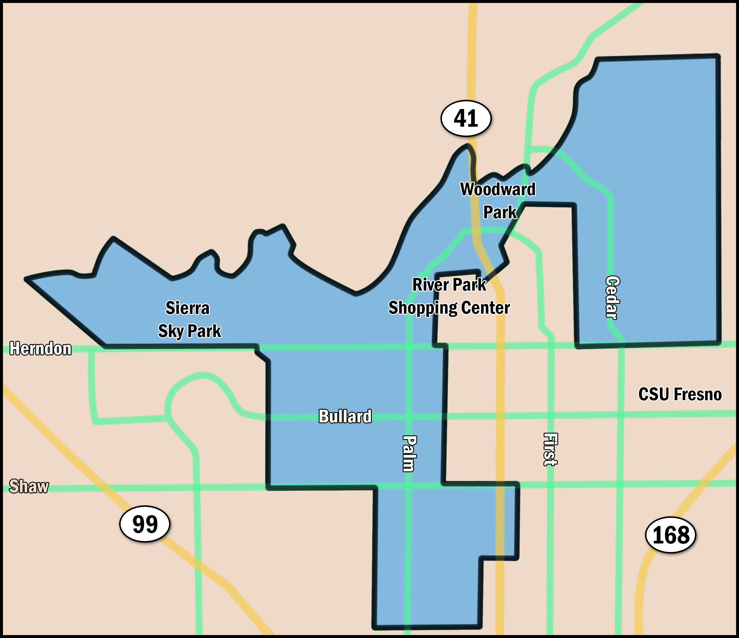
A total of 96,111 residents inhabit Fresno’s Advantaged Neighborhoods. During the 1970s, an urban unification program provided resources and residencies to unincorporated islands surrounding Fresno. This skyrocketed growth, adding 46 square miles to the city’s boundaries by 1984. By 2010, 14,000 people settled into the area. Resource shifts and allocations to this area resulted in Advantaged Neighborhoods consistently showing better outcomes in health, education preparedness, and economic development.
Sources
The California Endowment. (n.d.). Fresno. Retrieved from www.calendow.org/places/fresno/
Mason, B., Alvarado, A., & Palacio, R. (1996). Fresno in Transition: Urban Impacts of Rural Migration. Julian Samora Research Institute, Michigan State University.
Zuk, M. Z. (2013). Health Equity in a New Urbanist Environment: Land Use Planning and Community Capacity Building in Fresno, CA (PhD). University of California, Berkeley.
Contact Information:
Tania Pacheco-Werner, PhD
Central Valley Health Policy Institute
tpacheco@csufresno.edu
cvhpi.org
Suggested Citation
Pacheco-Werner, T. L., Corona, K., Corona, G., Chan, S., Conley, A., & Dhillon, H. (2018). Unequal Neighborhoods: Demographics. Central Valley Health Policy Institute. California State University, Fresno.
This report series was made possible by a grant from The California Endowment.
This HTML version was generated with AI assistance and may contain errors or omissions. The original approved PDF remains the official document of record. An alternative accessible format is available upon request from the document creator in accordance with Title II of the ADA.